


The Rhine river is 1350km long and flows from a glacier near Andermatt in the Swiss Alps in a generally NNW direction through Germany and empties into the North Sea west of Rotterdam.
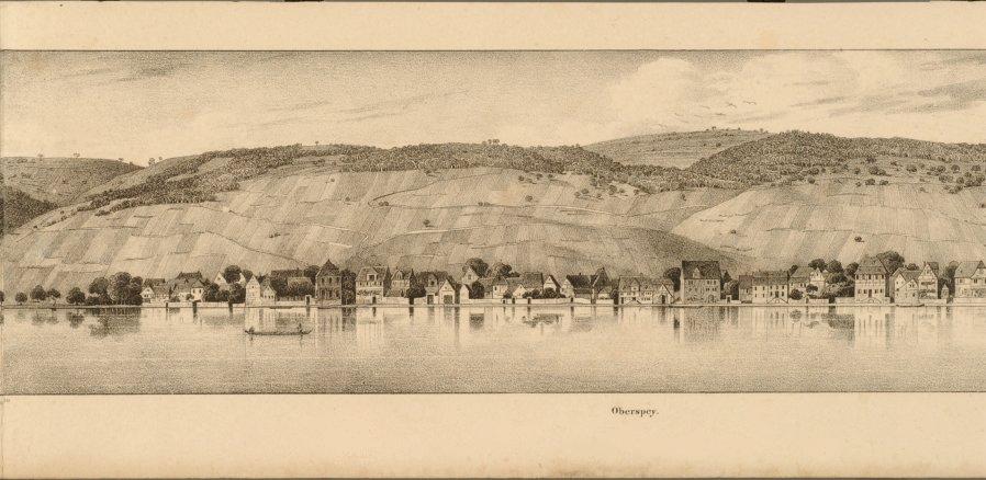
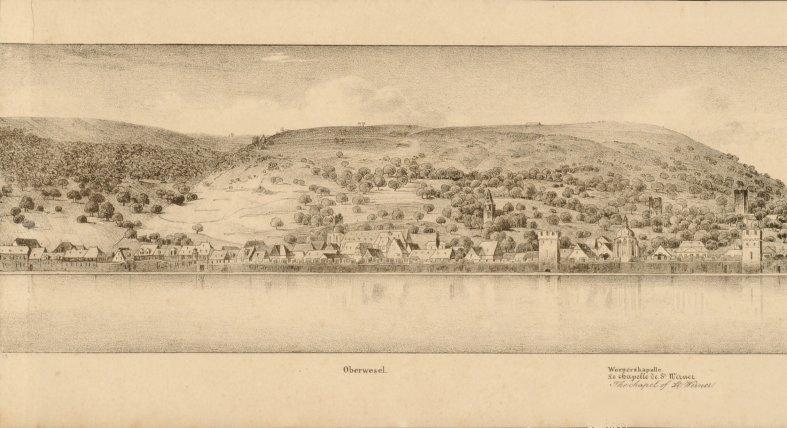
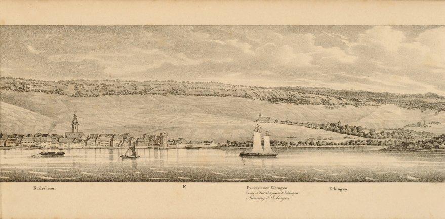
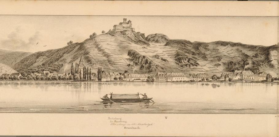
The views above are from a short section {~70km} in the Rhine valley between Koblenz and Mainz. This is within a larger stretch between Bonn and Mainz which has the highest concentration of river castles in the world.
Steamship travel along the Rhine began in 1817 and increased steadily during the 1820s. To keep up with the tourist demand for a permanent reminder of their trip, many publications with scenic views were released. A number of these early books with Rhine river views have been digitized and are available from the Rheinische Landesbibliothek.
In my opinion the best of these works is FC Vogel's 'Panorama des Rheins' from 1833. There are about 160 lithographs presented in right bank and left bank volumes. The art work was produced by Jacob Fürchtegott Dielmann and Jacob Becker. The images above (place names in the URLs) are from the Vogel books. I've touched up some of the age related artifact.


No comments :
Post a Comment
Comments are all moderated so don't waste your time spamming: they will never show up.
If you include ANY links that aren't pertinent to the blog post or discussion they will be deleted and a rash will break out in your underwear.
Also: please play the ball and not the person.
Note: only a member of this blog may post a comment.