
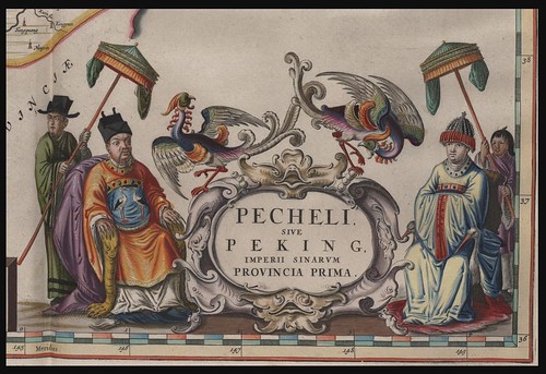
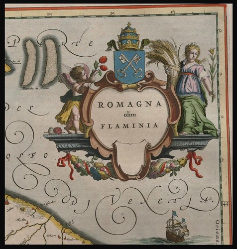
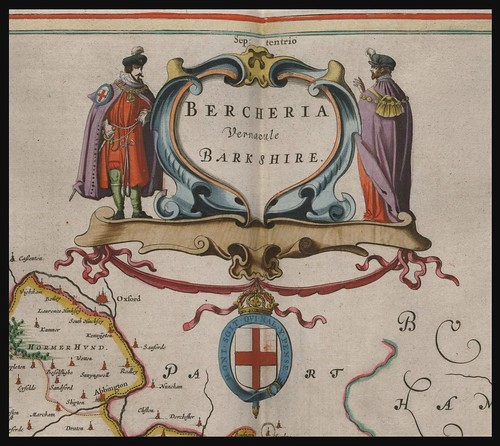
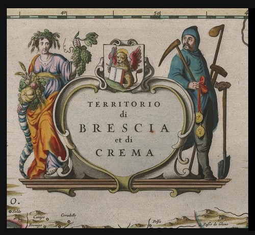
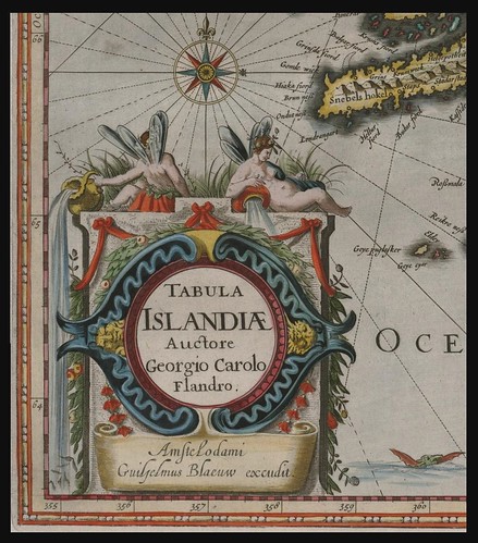
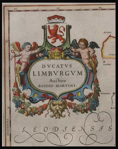


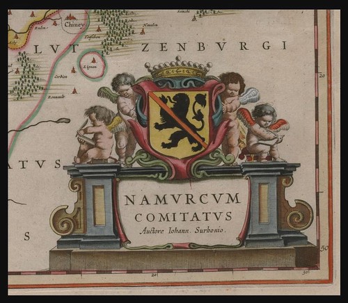

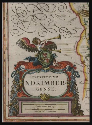

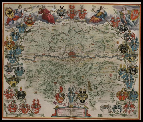
The Blaeu family of map publishers dominated the Golden Age of Dutch cartography during the seventeenth century. Their sumptuous and ornate colour atlases remain the pinnacle of artistic mapmaking and a new site has been launched by the Archive of Leiden to showcase a gorgeous 6-volume work, 'Toonneel des Aerdrycks', produced in the mid-1600s.
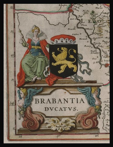
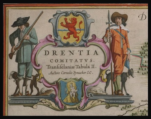
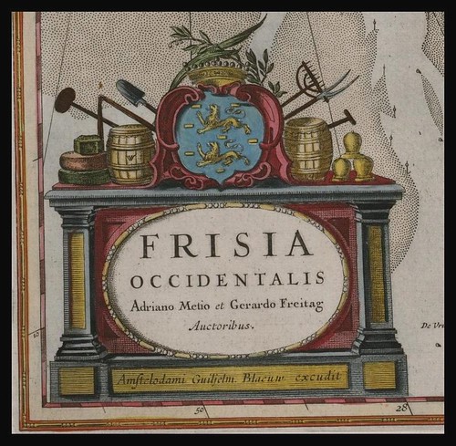
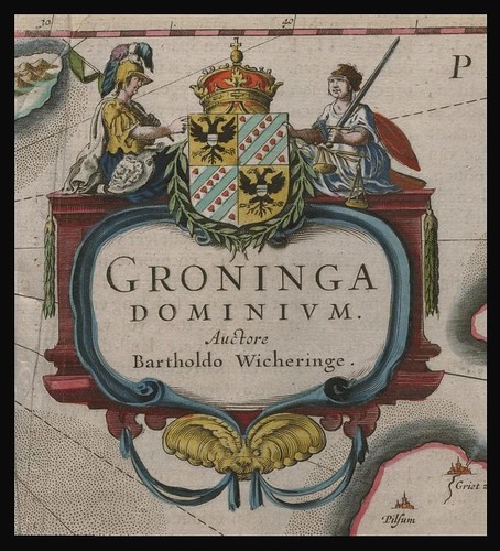
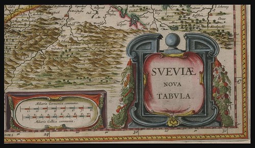
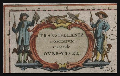
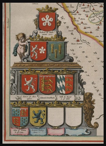
The Dutch cartographic style was characterised by increasingly decorative embellishment that tended to highlight the development in exploration, trade and commerce. Imagery was derived from a combination of exotic contemporary scenes and elements of classical mythology.
The 6-volume series was apparently produced specifically for a Leiden Mayor from the Dutch East India Company. The work has become sufficiently fragile that public access to the original books is restricted; hence the books have been digitised. It hardly matters that there is no English at the website.
I'm not sure whether the selection of images (spliced screencaps) above of name plates and medallions really does this work the justice it deserves. Maps are a fairly difficult breed of illustration to display successfully in static form on the internet, so I went off on a bit of a tangent for a change. [Most of the above are from Volume 1 - I didn't even notice the other five until later on (the stupid is strong in me at times)]
'Toonneel des Aerdrycks' : click 'Bekijk de atlassen in de viewer' [direct link to viewer] ---- this is the best flash viewer I've seen. The viewing screen can be increased by maximizing your browser size. Note: click 'Kaartenindex' for thumbnail displays. There's a little arrow top right that gets rid of the sidebar to increase the viewing area. [Home page of Regionaal Archief Leiden] [via]
UPDATE (Jan 2013): the link to the map site has been updated but I'm not sure where/how to link direct to the viewer.
skip to main |
skip to sidebar


analytics
Books~~Illustrations~~Science~~History~~Visual Materia Obscura~~Eclectic Bookart.


Contact | Who?

Recommended Blogs
Blog Archives
Resource Sites
- digital nz
- library of congress
- british library
- library france
- library holland
- library spain
- library portugal
- european library
- library australia
- collections canada
- digital poland
- nypl digital
- botanicus digital
- v&a collections
- britmuseum prints
- smithsonian search
- smithsonian galaxy
- f.a.m.s.i.
- casglu'r tlysau
- rumsey collection
- manuscript catalogue
- digital scriptorium
- cesg manuscripts
- swiss manuscripts
- pecia mss blog
- digital book index
- rare book room
- online exhibitions
- primary sources
- worldcat search
- library directory
- digital librarian
- intute resources
- warburg institute
- lexilogos links
- digiwiki links
- museum blogs
- book arts web
- culture archive
- conservation articles
- art-history timeline
- visual arts
- arts journal
- artcyclopedia
- ukiyo-e
- calligraphy megapage
- penmanship
- woodblock
- coconino
- alchemy website
- health hist. img-banks
- health history links
- history network
- new advent


3 comments :
Lovely lettering
Cool! I live in 'Mechlinia', although now it's called Mechelen.
Thanks!
Gorgeous! Wish they still made maps like these. Our university archives in the Ateneo de Manila have some beautiful old maps of the Philippines from the Spanish colonial times (new, compared to Europe's—only 19th century). I hope that one day, we can have them reproduced.
Post a Comment
Comments are all moderated so don't waste your time spamming: they will never show up.
If you include ANY links that aren't pertinent to the blog post or discussion they will be deleted and a rash will break out in your underwear.
Also: please play the ball and not the person.
Note: only a member of this blog may post a comment.